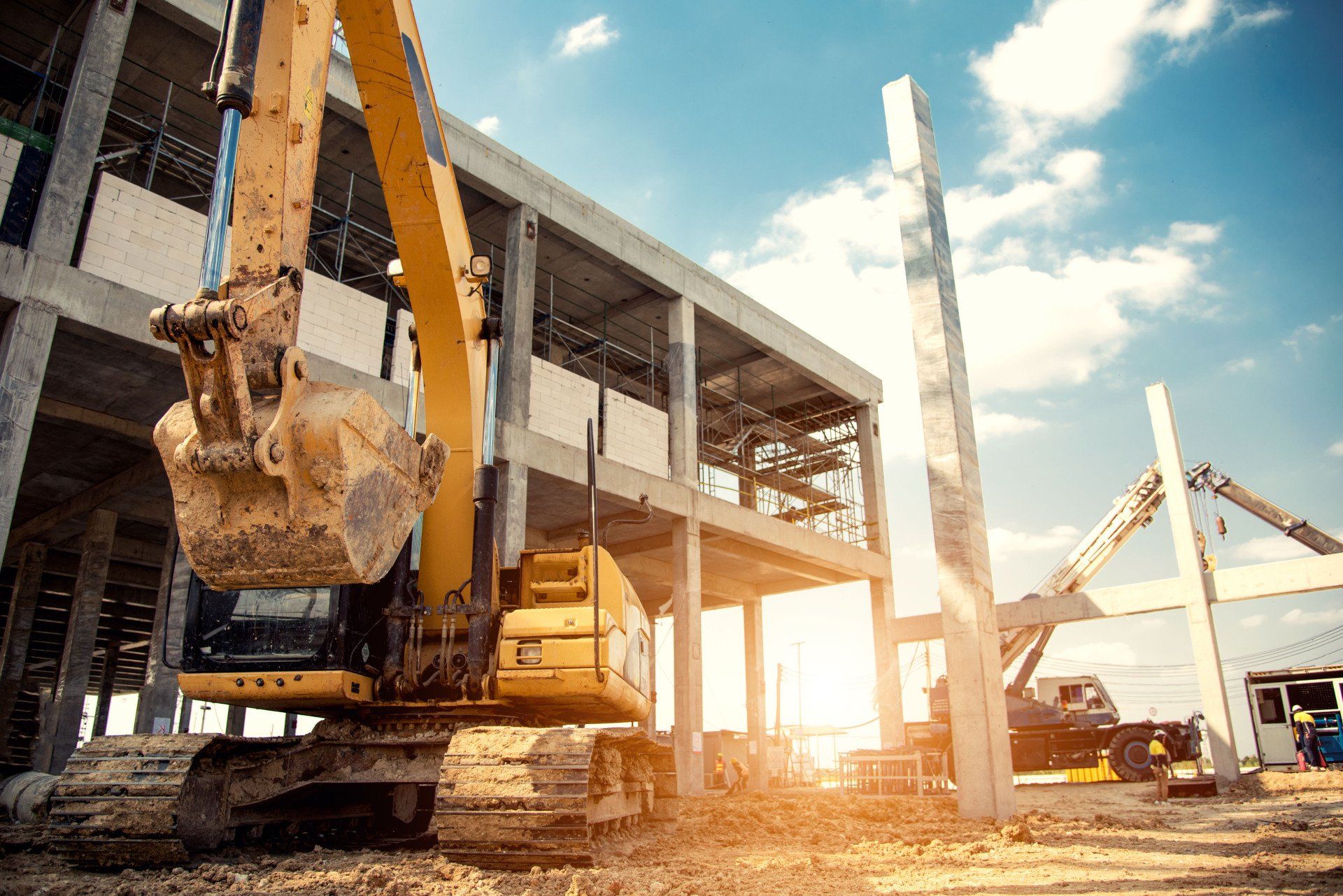
Benefits of Using 3D Laser Scanning for Land Surveying
According to Geospatial World, current land surveying instruments achieve accuracy for distance measurements of +/- (2mm + 2 ppm) x d. Top land surveyors use innovative 3D laser scanning that offers enhanced data collection as well as many advantages when it comes to your project outcome. Below are some of the advantages of using 3D laser scanning services.
Operations Are Faster
Local surveying is much faster using 3D scanning. A top land surveyor can produce data 50% to 70% faster than outdated methods. The surveying work you request may only take a single day.
Improved Higher Accuracy
3D laser scanning offers higher accuracy. A local surveyor can produce very accurate data including exact drawings, details for maps, planning, models, and more. The precision is so acute you can see how the sun hits different areas of land.
Reduced Costs Are a Great Advantage
More work can be done with less manpower when you use local surveying companies that offer 3D scanning with lasers. You are assured fewer mistakes and higher accuracy which reduces costs. Contact them to get a free estimate today.
3D laser scanning equipment can have many advantages when used for land surveying, and modern instruments can have an astonishing accuracy of distance measurements by +/- (2mm + 2 ppm) x d. If you are looking for the best way to survey land, here are four reasons why you may want to upgrade to 3D laser scanning.
1. Quicker Surveying
3D laser scanning can offer a quicker way of surveying than other methods, and this is because it reduces the time it takes to complete the survey and collect data. Overall, this equipment can reduce the fieldwork time by between 50-70%. When compared to other outdated methods that could take days or even weeks, it's easy to see why 3D laser scanning -- which often can take only a single day -- can simplify and speed up the process.
2. Reduced Cost
When you end up spending less time in the field, the costs of surveying can be decreased. Higher accuracy, which is key for 3D laser scanning, can also reduce mistakes, which removes the costs associated with having to redo work. Fewer trips into the field, coupled with a lower margin of error can translate into increased company profits which you can then spend on upgrading even more equipment.
3. Versatility
3D laser scanning is also highly versatile and it can reach many areas that traditional methods cannot without being slowed by obstacles. Ariel measurements and water depth assessments are all much simpler with this technology. These scanners can also be used to produce 2D and 3D drawings and models, along with volumetric calculations, topological maps, and much more.
4. Greater Accuracy
As mentioned above, 3D laser scanning for land surveying can be much more accurate than other outdated methods. 3D laser mapping produces some of the most accurate data results, with exacting details that don't lack precision. In fact, some models are so precise that they can even map the ways that the sunlight lands on a certain area. Additionally, some models can even gather up to a million points of data per second without losing any time in the field.
If you need land surveying equipment, consider how improved 3D laser scanning can benefit your business, and make the switch today to increase accuracy, save time, and save money.


Share On: